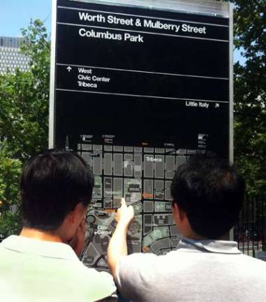
New Walking Maps in Chinatown

Pedestrians wondering which way to walk on some of the city's more confusing street blocks are getting some help. The first signs in the city's new pedestrian map system have been put into place in Chinatown. Department of Transportation Commissioner Janette Sadik-Khan announced Monday that four of the free-standing signs have been put into place. They have maps, and show major points of interest as well as bike lanes and subway stops.
The system is called WalkNYC, and is expected to be installed elsewhere in Chinatown as well as in other neighborhoods over the summer. Those other areas include 34th Street in Manhattan, Prospect Heights and Crown Heights in Brooklyn and Long Island City in Queens. The eventual plan is to expand across the city.